
Fayl:Norway Rogaland adm location map.svg

Asl fayl (SVG fayl, asl oʻlchamlari 778 × 885 piksel, fayl hajmi: 121 KB)
Qisqa izoh
| Taʼrif |
|
||||||||||||
| Sanasi | |||||||||||||
| Manba | Own work using: United States National Imagery and Mapping Agency data | ||||||||||||
| Muallif | NordNordWest | ||||||||||||
| Other versions |
|
||||||||||||


|
This map has been made or improved in the German Kartenwerkstatt (Map Lab). You can propose maps to improve as well.
|
Litsenziyalash
Usage of this file with:

explanatory notes: Legally binding is only the full legalcode. For a free usage I recommend to respect the following licence conditions:
1. Provide my name as given above: NordNordWest,
2. a copy of, or the URI for, the applicable license: https://creativecommons.org/licenses/by-sa/3.0/de/legalcode,
3. the title of the work,
4. in the case of an adaptation, a credit identifying the use of the work in the adaptation.
This license and the rights granted hereunder will terminate automatically upon any breach by you of the terms of this license. Any of the above conditions can be waived if you get permission from the copyright holder. If you have questions or wish differing conditions, please contact me through nnwest or my discussion page ![]() t-online.de
t-online.de
- Siz erkinsiz:
- ulashishga – ishlanmani nusxalash, tarqatish va uzatish
- remiks qilishga – ishni moslashtirishga
- Quyidagi shartlar asosida:
- atribut – Siz tegishli litsenziyaga havolani taqdim etishingiz va oʻzgartirishlar kiritilganligini koʻrsatishingiz kerak. Siz buni har qanday oqilona yoʻl bilan qilishingiz mumkin, lekin litsenziar Sizni yoki Sizning foydalanishingizni ma'qullashini taklif qiladigan tarzda emas.
- bir xil ulashish – Agar Siz materialni remiks qilsangiz, oʻzgartirsangiz yoki unga asoslansangiz, oʻz hissalaringizni asl nusxadagi kabi bir xil yoki mos litsenziya ostida tarqatishingiz kerak.

Fayl tarixi
Faylning biror paytdagi holatini koʻrish uchun tegishli sana/vaqtga bosingiz.
| Sana/Vaqt | Miniatura | Oʻlchamlari | Foydalanuvchi | Izoh | |
|---|---|---|---|---|---|
| joriy | 02:45, 10-Iyun 2020 | | 778 × 885 (121 KB) | Jay1279 | fix Strand-Sandnes border after 2020 boundary change |
| 19:12, 18-Yanvar 2020 |  | 778 × 885 (114 KB) | NordNordWest | corr | |
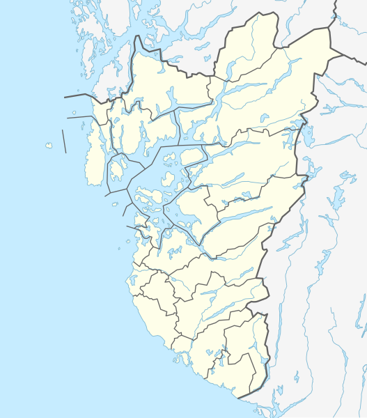
| 13:51, 2-Yanvar 2020 |  | 778 × 885 (114 KB) | NordNordWest | == {{int:filedesc}} == {{Information |description= {{de|1=Positionskarte von {{Wd|Rogaland}}, {{Wd|Norwegen}}}} {{en|1=Location map of {{W|Rogaland}}, {{W|Norway}}}} {{Location map series N |stretching=194 |top=59.9 |bottom=58.2 |left=4.5 |right=7.4 }} |source={{Own using}} United States National Imagery and Mapping Agency data |date=2020-01-02 |author={{U|NordNordWest}} |permission= |other_versions= }} {{Kartenwerkstatt}} == {{int:license-header}} == {{User:NordNordWest/LicenceMap}} [[Cate... |
Fayllarga ishoratlar
Bu faylga quyidagi 4 sahifalar bogʻlangan:
Faylning global foydalanilishi
Ushbu fayl quyidagi vikilarda ishlatilyapti:
- de.wikipedia.org loyihasida foydalanilishi
- Rogaland
- Karmsundbrua
- Tungenes fyr
- Wikipedia:Kartenwerkstatt/Positionskarten/Europa
- Bryne-Stadion
- Vorlage:Positionskarte Norwegen Rogaland
- Viking-Stadion
- Haugesund-Stadion
- Siddishallen
- Stavanger Stadion
- Sandnes Idrettspark
- Vibberodden fyr
- Eigerøy fyr
- Eigerøy bru
- Grøderøysa
- Vistehola
- Runenstein der Mariakirken
- Runenstein von Indre Bø
- Bautastein von Indre Bø
- Bautasteine von Vestre Goa
- Dødssjødno
- Runenstein von Sele
- Bautasteine von Hogstad
- Felsritzungen von Rudlå
- Bautastein von Meling
- Bautastein von Sømme
- Bautastein von Risa
- Steine von Pallesen-Tomta
- Felsritzungen vom Aubeberget
- Løndshaug
- Bautastein von Soma
- Stavanger Idrettshall
- Fluberget
- Aubeberget
- Sola Arena
- DNB Arena
- en.wikipedia.org loyihasida foydalanilishi
Ushbu faylni koʻproq global foydalanishdan koʻring.