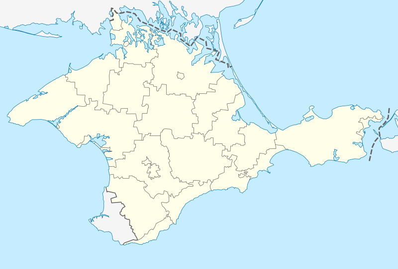
Fayl:Outline Map of Crimea (disputed status).svg
Qiyofa

Size of this PNG preview of this SVG file: 800 × 542 piksel. Boshqa oʻlchamlari: 320 × 217 piksel | 640 × 434 piksel | 1 024 × 694 piksel | 1 280 × 868 piksel | 2 560 × 1 736 piksel | 1 000 × 678 piksel.
Asl fayl (SVG fayl, asl oʻlchamlari 1 000 × 678 piksel, fayl hajmi: 48 KB)
Fayl tarixi
Faylning biror paytdagi holatini koʻrish uchun tegishli sana/vaqtga bosingiz.
| Sana/Vaqt | Miniatura | Oʻlchamlari | Foydalanuvchi | Izoh | |
|---|---|---|---|---|---|
| joriy | 17:01, 2014-yil 22-mart |  | 1 000 × 678 (48 KB) | NordNordWest | c |
| 16:55, 2014-yil 22-mart |  | 1 000 × 678 (55 KB) | NordNordWest | {{De facto boundaries}} == {{int:filedesc}} == {{Information |Description ={{de|1=Positionskarte der umstrittenen Autonomen Republik Krim (Ukraine)/Republik Krim (Russland)}} {{en|1=Location map of t... |
Fayllarga ishoratlar
Bu faylga quyidagi 2 sahifalar bogʻlangan:
Faylning global foydalanilishi
Ushbu fayl quyidagi vikilarda ishlatilyapti:
- als.wikipedia.org loyihasida foydalanilishi
- azb.wikipedia.org loyihasida foydalanilishi
- اوپولزنو
- اوخوتنیچ
- زوزرن، روسیه
- اوریندا، روسیه
- لاواندا، روسیه
- لنین، روسیه
- اوکتیابرزک
- ساکی، روسیه
- لیسن، روسیه
- ساناتورن
- لینیین، روسیه
- لیوادییا، روسیه
- اولیوا، روسیه
- بویوک کارئیلز
- ماسسندرا
- پارتنیت، روسیه
- پارتیزانزک
- پارکوو، روسیه
- پروالن، روسیه
- پروالیوکا
- ایستاری کریم
- پروومایسک ، روسیه
- پریبرژن، روسیه
- سوکولین، روسیه
- مورزک، روسیه
- سونیاچنا دولینا
- آزووسک، روسیه
- آلوپکا، روسیه
- باهاتیوکا، روسیه
- برهوو، روسیه
- پونیزیوکا
- چورنومورزک
- خولودیوکا، روسیه
- داچن، روسیه
- دانیلیوکا
- روزدولن، روسیه
- سوویتایسکایی
- سوویتسک، روسیه
- سیمئیز، روسیه
- شچولکین، روسیه
- فوروز، قیریم
- قاسپرا
- قورزوف
- کاتسیولی
- کاچا، قیریم
- کراسنوکامیانکا
- کراسنوهواردییسک
- کورپاتی، روسیه
- کورئیز، روسیه
Ushbu faylni koʻproq global foydalanishdan koʻring.

