
Fayl:Relief Map of Southern Federal District-(Crimea disputed).jpg
Bu prevyuning hajmi: 781 × 599 piksel. Boshqa oʻlchamlari: 313 × 240 piksel | 626 × 480 piksel | 1 001 × 768 piksel | 1 200 × 921 piksel.
Asl fayl (1 200 × 921 piksel, fayl hajmi: 550 KB, MIME tipi: image/jpeg)
.jpg)
Qisqa izoh
| Taʼrif |
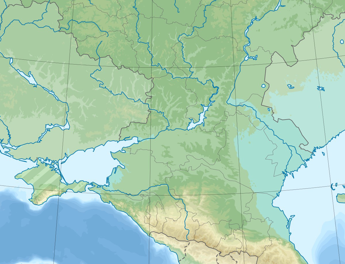
English: Physical map of the Southern Federal District in Russia. |
| Sanasi | |
| Manba |
This file was derived from: Relief Map of Southern Federal District.jpg: |
| Muallif |
|
| This is a retouched picture, which means that it has been digitally altered from its original version. Modifications: Hatched Crimea. The original can be viewed here: Relief Map of Southern Federal District.jpg:
|
Litsenziyalash
I, the copyright holder of this work, hereby publish it under the following license:
Bu fayl Creative Commons asosida litsenziyalangan Attribution- Share Alike 3.0 Unported litsenziyasi.
- Siz erkinsiz:
- ulashishga – ishlanmani nusxalash, tarqatish va uzatish
- remiks qilishga – ishni moslashtirishga
- Quyidagi shartlar asosida:
- atribut – Siz tegishli litsenziyaga havolani taqdim etishingiz va oʻzgartirishlar kiritilganligini koʻrsatishingiz kerak. Siz buni har qanday oqilona yoʻl bilan qilishingiz mumkin, lekin litsenziar Sizni yoki Sizning foydalanishingizni ma'qullashini taklif qiladigan tarzda emas.
- bir xil ulashish – Agar Siz materialni remiks qilsangiz, oʻzgartirsangiz yoki unga asoslansangiz, oʻz hissalaringizni asl nusxadagi kabi bir xil yoki mos litsenziya ostida tarqatishingiz kerak.
Original upload log
This image is a derivative work of the following images:
- File:Relief Map of Southern Federal District.jpg licensed with Cc-by-sa-3.0
- 2020-02-11T06:43:24Z Takhirgeran Umar 1200x921 (210599 Bytes) Reverted to version as of 14:57, 28 July 2016 (UTC)
- 2020-01-28T19:19:14Z Takhirgeran Umar 3000x2700 (2548324 Bytes) об
- 2016-07-28T14:57:11Z Seryo93 1200x921 (210599 Bytes) null upload to force ruwiki thumbnail update
- 2016-07-28T14:38:30Z Hellerick 1200x921 (210599 Bytes) Better visible Crimean border.
- 2016-07-28T14:04:29Z Hellerick 1200x921 (210719 Bytes) Crimea included.
- 2013-09-13T03:47:59Z Hellerick 1200x1080 (294328 Bytes) User created page with UploadWizard
Uploaded with derivativeFX
Fayl tarixi
Faylning biror paytdagi holatini koʻrish uchun tegishli sana/vaqtga bosingiz.
| Sana/Vaqt | Miniatura | Oʻlchamlari | Foydalanuvchi | Izoh | |
|---|---|---|---|---|---|
| joriy | 14:53, 26-May 2020 | | 1 200 × 921 (550 KB) | Seryo93 | == {{int:filedesc}} == {{Information |Description={{en|1=Physical map of the Southern Federal District in Russia.}} |date=2020-06-26 |Source={{Derived from|Relief Map of Southern Federal District.jpg|display=50}} |Date=2020-05-26 14:53 (UTC) |Author=* File:Relief Map of Southern Federal District.jpg: Hellerick * derivative work: [[User:{{subst:REVISIONUSER}}|{{subst:REVISIONUSER}}]] |Permission= |other_versions= }} {{Re... |
Fayllarga ishoratlar
Bu faylga quyidagi sahifa bogʻlangan:
Faylning global foydalanilishi
Ushbu fayl quyidagi vikilarda ishlatilyapti:
- az.wikipedia.org loyihasida foydalanilishi
- et.wikipedia.org loyihasida foydalanilishi
- fr.wikipedia.org loyihasida foydalanilishi
- inh.wikipedia.org loyihasida foydalanilishi
- kk.wikipedia.org loyihasida foydalanilishi
- os.wikipedia.org loyihasida foydalanilishi
- ru.wikipedia.org loyihasida foydalanilishi
- Калачская возвышенность
- Северский Донец
- Кубань (река)
- Ростовский заповедник
- Ахтуба
- Кумо-Манычская впадина
- Волгоградское водохранилище
- Прикаспийская низменность
- Чир (река)
- Ергени
- Сарпинские озёра
- Цимлянское водохранилище
- Чёрные земли (заповедник)
- Каменская ТЭЦ
- Сал (река)
- Маныч-Гудило
- Волго-Ахтубинская пойма
- Волго-Каспийский канал
- Маныч
- Пролетарское водохранилище
- Восточный Маныч
- Ростовский канал
- Чограйское водохранилище
- Шаблон:ПозКарта Россия Южный ФО
- Кара-Сал
- Барманцак
- Кубано-Приазовская низменность
- Ханата
- Деед-Хулсун
- Сарпа (озеро, у посёлка Цаган-Нур)
- Состинские озёра
- Цаца (озеро)
- Батыр-Мала
- Унгун-Тёречи (озеро)
- Чёрные Земли (пустыня)
- Маныч (озеро)
- Малый Маныч
- Калмыцко-Астраханская рисовая оросительная система
Ushbu faylni koʻproq global foydalanishdan koʻring.
.jpg)
.jpg)