
Fayl:Reliefkarte Freiburg blank.png
Bu prevyuning hajmi: 542 × 599 piksel. Boshqa oʻlchamlari: 217 × 240 piksel | 434 × 480 piksel | 695 × 768 piksel | 926 × 1 024 piksel | 1 840 × 2 034 piksel.
Asl fayl (1 840 × 2 034 piksel, fayl hajmi: 3,52 MB, MIME tipi: image/png)
| Taʼrif |
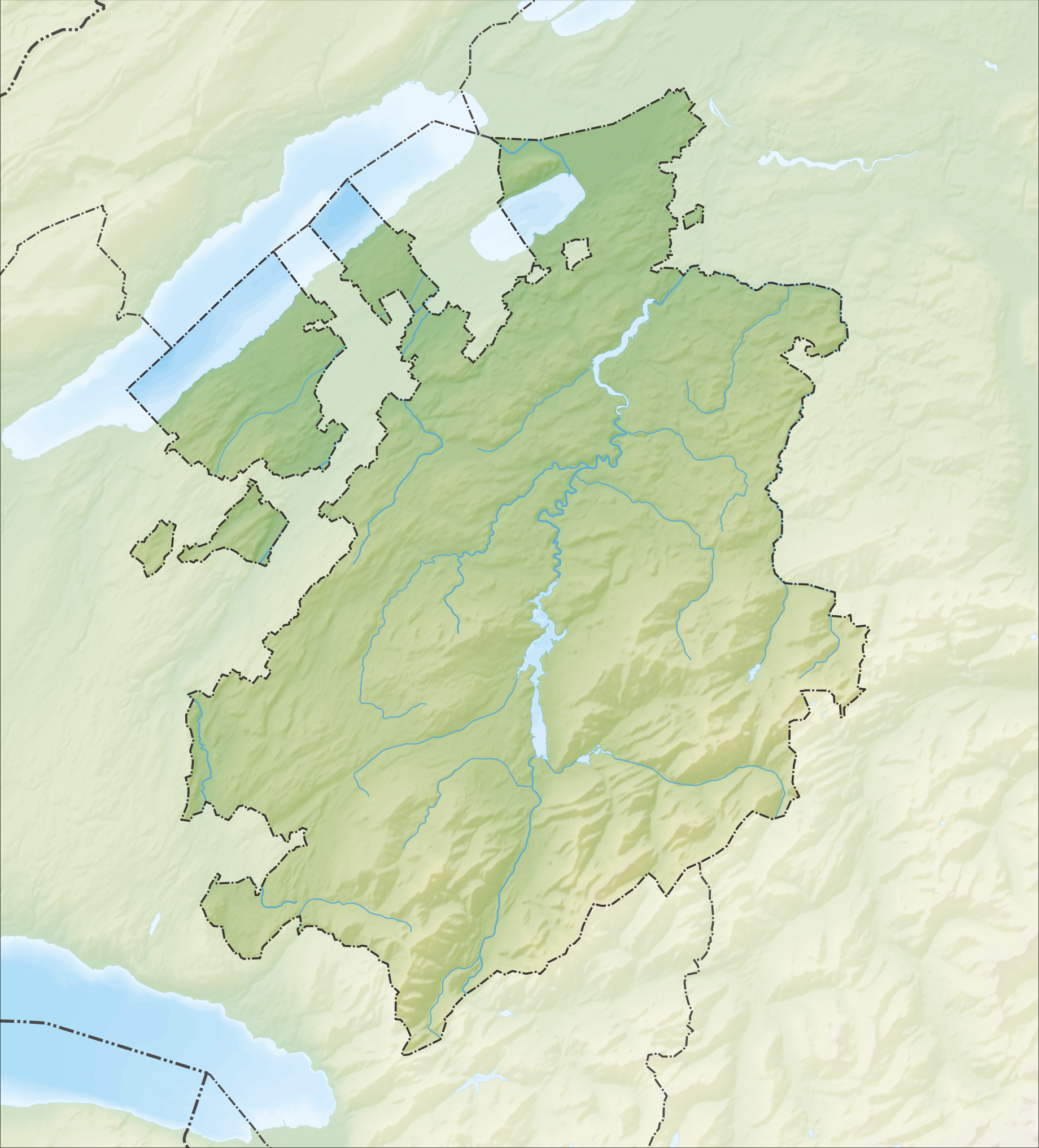
Deutsch: Reliefkarte des Kantons Freiburg
Topographischer Hintergrund: NASA Shuttle Radar Topography Mission (public domain). SRTM3 v.2. |
||||||||
| Sanasi | |||||||||
| Manba | Oʻzimning ishim | ||||||||
| Muallif | Tschubby | ||||||||
| Ruxsat (Bu faylning takror foydalanilishi) |
I, the copyright holder of this work, hereby publish it under the following licenses:
This file is licensed under the Creative Commons Attribution-Share Alike 2.5 Generic, 2.0 Generic and 1.0 Generic license.
Siz oʻzingiz xohlagan litsenziyani tanlashingiz mumkin. |
||||||||
| Other versions |
 |

Fayl tarixi
Faylning biror paytdagi holatini koʻrish uchun tegishli sana/vaqtga bosingiz.
| Sana/Vaqt | Miniatura | Oʻlchamlari | Foydalanuvchi | Izoh | |
|---|---|---|---|---|---|
| joriy | 15:34, 5-Dekabr 2013 | | 1 840 × 2 034 (3,52 MB) | Tschubby | {{Information |Description= {{de| Reliefkarte des Kantons Freiburg}} Topographischer Hintergrund: [http://www2.jpl.nasa.gov/srtm NASA Shuttle Radar Topography Mission] (public domain). SRTM3 v.2. |Source={{own}} |Date= 2013-12-05 |Author= [[:de:User:Ts... |
Fayllarga ishoratlar
Bu faylga quyidagi 2 sahifalar bogʻlangan:
Faylning global foydalanilishi
Ushbu fayl quyidagi vikilarda ishlatilyapti:
- de.wikipedia.org loyihasida foydalanilishi
- Moléson
- Schwarzsee (See im Kanton Freiburg)
- Greyerzersee
- Mont Vully
- Schiffenensee
- Vanil d’Arpille
- Lac de Montsalvens
- Cousimbert
- Glâne (Fluss)
- Gibloux (Berg)
- Papiliorama
- Jaunbach
- Arbogne
- Vanil Noir
- Liste von Burgen und Schlössern in der Schweiz
- Berra (Berg)
- Gastlosen
- Kaiseregg
- Vauderens-Tunnel
- Île d’Ogoz
- Schloss Greyerz
- Wikipedia:Kartenwerkstatt/Positionskarten/Europa
- Flugplatz Gruyères
- Sendeturm Mont-Gibloux
- Dent de Brenleire
- Vanil Carré
- Schwyberg
- Vorlage:Positionskarte Schweiz Freiburg
- Ölbergwerk
- Flugplatz Ecuvillens
- Schloss Löwenberg (Murten)
- Möösliturm
- Dent de Lys
- Breccaschlund
- Javro
- Schopfenspitz
- Benutzer:Tschubby/Reliefkarten
- Vanil des Artses
- Col de Lys
- Schloss Murten
- Schloss Pont
- Schloss Attalens
- Burgruine Illens
- Burgruine Arconciel
- Schloss Romont
- Schloss Vaulruz
- Schloss Chenaux
- Schloss Surpierre
- Burgruine Montagny-les-Monts
- Burgruine Montsalvens
Ushbu faylni koʻproq global foydalanishdan koʻring.