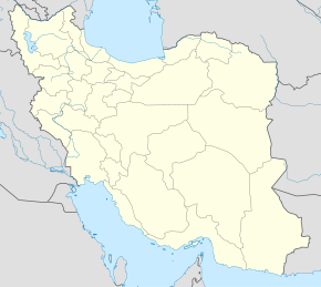
Keh Kusan
Qiyofa
Bu maqolaga boshqa birorta sahifadan
ishorat yoʻq. (avgust 2024) |
Keh Kusan كه كوسان | |
|---|---|
| Qishloq | |
|
| |
| 35°57′0″N 46°36′0″E / 35.95000°N 46.60000°E | |
| Mamlakat | Eron |
|
| |
Keh Kusan (forscha: كه كوسان) – Eronning Divandarreh shahristonidagi Chehel Cheshmeh dehistoniga qarashli qishloq[1].
Manbalar
[tahrir | manbasini tahrirlash]- ↑ „Census of the Islamic Republic of Iran, 1385 (2006)“ (fa) (Excel). AMAR. The Statistical Center of Iran. 2011-yil 20-sentyabrda asl nusxadan arxivlangan. Qaraldi: 2022-yil 25-sentyabr.

